 XIANG YUE SU HANG
Current Status
Where is the vessel?
XIANG YUE SU HANG is currently in 12 nm N of Lü-hua Shan, based on AIS data received about 15h ago.
Latest AIS update:
Current position: 31.00926° N, 122.70303° E (12 nm N of Lü-hua Shan)
Average speed (last 7 days): Loading…
Average speed (last 30 days): Loading…
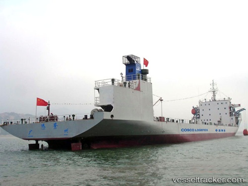
Vessel profile: XIANG YUE SU HANG is a Barge Carrier with dimensions m x m.
This page combines live AIS, route history, probable destination signals, nearby traffic, and port activity for practical vessel monitoring.
The current position of vessel XIANG YUE SU HANG is 31.00926 lat / 122.70303 lng. Updated: 2026-06-17 16:09:36 UTCNearest reference points:
- 14 nm N of Lü-hua Shan
- 19 nm NE of Lü-hua Shan
- 21 nm NE of Lü-hua Shan
Currently sailing under the flag of China ![]()
Details:
Live Vessel XIANG YUE SU HANG Analytics (details, animations, etc.)
Recent AIS points (UTC):
2026-06-17 13:21:33 UTC · 31.00876, 122.70314 · SOG 0 kn · COG 46°2026-06-17 13:52:39 UTC · 31.00833, 122.70167 · SOG 0 kn · COG -1°
2026-06-17 15:52:39 UTC · 31.00833, 122.70167 · SOG 0 kn · COG -1°
2026-06-17 16:09:36 UTC · 31.00926, 122.70303 · SOG 0 kn · COG 124°