 MARINE VICTORY
Current Status
Where is the vessel?
MARINE VICTORY is currently in 20 nm N of Parnaíba, based on AIS data received about 14h ago.
Latest AIS update:
Current position: 2.60005° S, 41.66518° W (20 nm N of Parnaíba)
Average speed (last 7 days): Loading…
Average speed (last 30 days): Loading…
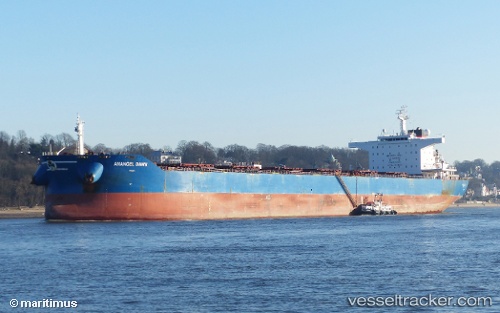
Vessel profile: MARINE VICTORY is a Bulk Carrier with dimensions 250m x 43m.
This page combines live AIS, route history, probable destination signals, nearby traffic, and port activity for practical vessel monitoring.
The current position of vessel MARINE VICTORY is -2.60005 lat / -41.66518 lng. Updated: 2026-07-09 23:58:12 UTCNearest reference points:
- 81 nm N of Acarau
- 53 nm N of Beija-Flor
- 141 nm N of Itarema
Currently sailing under the flag of Liberia ![]()
MARINE VICTORY built in 2011 year
Deadweight:
114091 tDetails:
Live Vessel MARINE VICTORY Analytics (details, animations, etc.)
Recent AIS points (UTC):
2026-07-09 19:31:37 UTC · -2.59922, -41.66502 · SOG 0.8 kn · COG 53°2026-07-09 21:34:33 UTC · -2.59862, -41.66563 · SOG 0.3 kn · COG 91°
2026-07-09 21:34:33 UTC · -2.59862, -41.66563 · SOG 0.3 kn · COG 91°
2026-07-09 23:58:12 UTC · -2.60005, -41.66518 · SOG 0.6 kn · COG -1°