 vesseltracker.com
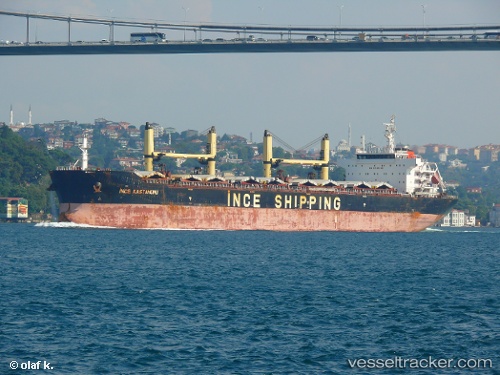
 FORTUNE GRACE II
Current Status
Where is the vessel?
FORTUNE GRACE II is currently in 15 nm SW of Boac, Marinduque, based on AIS data received about 20h ago.
Latest AIS update:
Current position: 13.21495° N, 121.70984° E (15 nm SW of Boac, Marinduque)
Average speed (last 7 days): Loading…
Average speed (last 30 days): Loading…
Vessel profile: FORTUNE GRACE II is a Bulk Carrier with dimensions m x m.
This page combines live AIS, route history, probable destination signals, nearby traffic, and port activity for practical vessel monitoring.
The current position of vessel FORTUNE GRACE II is 13.21495 lat / 121.70984 lng. Updated: 2026-05-17 16:47:14 UTCNearest reference points:
- 12 nm S of Lobo
- Near Lobo
- Near Nasugbu, Luzon
Currently sailing under the flag of Marshall Islands ![]()
Details:
Live Vessel FORTUNE GRACE II Analytics (details, animations, etc.)
Recent AIS points (UTC):
2026-05-17 16:47:14 UTC · 13.21495, 121.70984 · SOG 12.7 kn · COG 119°2026-05-17 16:47:14 UTC · 13.21495, 121.70984 · SOG 12.7 kn · COG 119°
2026-05-17 16:47:14 UTC · 13.21495, 121.70984 · SOG 12.7 kn · COG 119°
2026-05-17 16:47:14 UTC · 13.21495, 121.70984 · SOG 12.7 kn · COG 119°