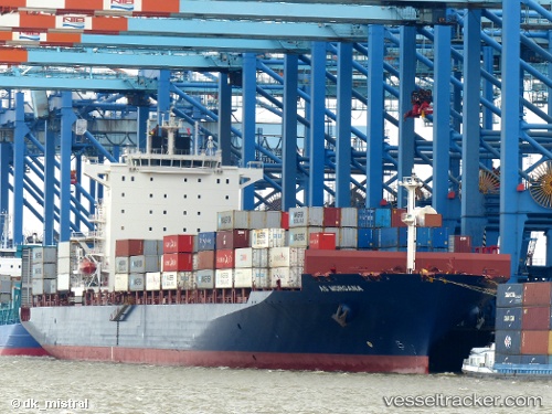
 SM SEOUL
Current Status
Where is the vessel?
SM SEOUL is currently in 145 nm W of Attu Island, based on AIS data received about 14h ago.
Latest AIS update:
Current position: 53.12217° N, 169.28235° E (145 nm W of Attu Island)
Average speed (last 7 days): Loading…
Average speed (last 30 days): Loading…
Vessel profile: SM SEOUL is a Container Ship with dimensions m x m.
This page combines live AIS, route history, probable destination signals, nearby traffic, and port activity for practical vessel monitoring.
The current position of vessel SM SEOUL is 53.12217 lat / 169.28235 lng. Updated: 2026-06-13 06:11:18 UTCCurrently sailing under the flag of South Korea ![]()
Details:
Live Vessel SM SEOUL Analytics (details, animations, etc.)
Recent AIS points (UTC):
2026-06-13 02:27:53 UTC · 53.50684, 170.72549 · SOG 15.1 kn · COG 243°2026-06-13 04:04:37 UTC · 53.33833, 170.09500 · SOG 15 kn · COG -1°
2026-06-13 05:13:23 UTC · 53.22107, 169.65121 · SOG 15.2 kn · COG 243°
2026-06-13 06:11:18 UTC · 53.12217, 169.28235 · SOG 15 kn · COG 243°