 MARMOLADA
Current Status
Where is the vessel?
MARMOLADA is currently in 124 nm W of Saldanha Bay, based on AIS data received about 15h ago.
Latest AIS update:
Current position: 32.81271° S, 15.43011° E (124 nm W of Saldanha Bay)
Average speed (last 7 days): Loading…
Average speed (last 30 days): Loading…
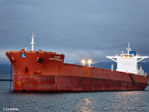
Vessel profile: MARMOLADA is a Bulk Carrier with dimensions m x m.
This page combines live AIS, route history, probable destination signals, nearby traffic, and port activity for practical vessel monitoring.
The current position of vessel MARMOLADA is -32.81271 lat / 15.43011 lng. Updated: 2026-05-20 19:00:44 UTCNearest reference points:
- 167 nm SW of Koiingnaas
- 116 nm SW of Saldanha Bay
- 111 nm W of Kommetjie
Currently sailing under the flag of Liberia ![]()
Details:
Live Vessel MARMOLADA Analytics (details, animations, etc.)
Recent AIS points (UTC):
2026-05-20 16:19:22 UTC · -33.21331, 15.85589 · SOG 11.9 kn · COG 318°2026-05-20 16:26:45 UTC · -33.19448, 15.83741 · SOG 11.9 kn · COG 317°
2026-05-20 17:36:23 UTC · -33.02151, 15.65382 · SOG 11.9 kn · COG 316°
2026-05-20 19:00:44 UTC · -32.81271, 15.43011 · SOG 12.1 kn · COG 321°