 JENGGALA NASSIM
Current Status
Where is the vessel?
JENGGALA NASSIM is currently in Near Tampines, based on AIS data received about 14h ago.
Latest AIS update:
Current position: 1.26775° N, 103.91846° E (Near Tampines)
Average speed (last 7 days): Loading…
Average speed (last 30 days): Loading…
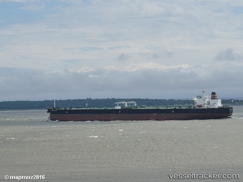
Vessel profile: JENGGALA NASSIM is a Tanker with dimensions m x m.
This page combines live AIS, route history, probable destination signals, nearby traffic, and port activity for practical vessel monitoring.
The current position of vessel JENGGALA NASSIM is 1.26775 lat / 103.91846 lng. Updated: 2026-06-14 23:05:30 UTCNearest reference points:
- Near Tampines
- Near Choa Chu Kang
- Near Changi
Currently sailing under the flag of Indonesia ![]()
Details:
Live Vessel JENGGALA NASSIM Analytics (details, animations, etc.)
Recent AIS points (UTC):
2026-06-14 19:29:30 UTC · 1.26765, 103.91967 · SOG 0 kn · COG 229°2026-06-14 19:44:30 UTC · 1.26777, 103.91960 · SOG 0 kn · COG 225°
2026-06-14 22:02:30 UTC · 1.26782, 103.91768 · SOG 0 kn · COG 174°
2026-06-14 23:05:30 UTC · 1.26775, 103.91846 · SOG 0 kn · COG 203°