 vesseltracker.com
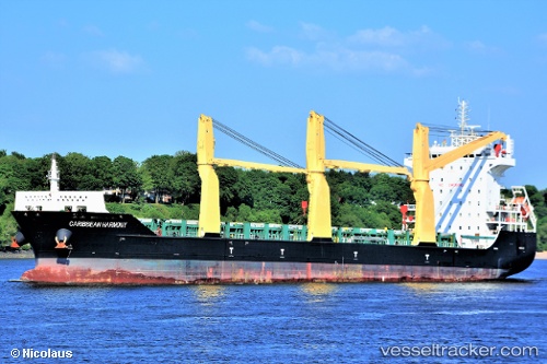
Caribbean Harmony
Current StatusWhere is the vessel?
Caribbean Harmony is currently in 92 nm NE of Abakaliki, based on AIS data received about 2h ago.
Latest AIS update:
Current position: 7.02436° N, 87.37339° E (92 nm NE of Abakaliki)
Average speed (last 7 days): Loading…
Average speed (last 30 days): Loading…
Vessel profile: Caribbean Harmony is a Multi Purpose Carrier with dimensions 28m x 166m.
This page combines live AIS, route history, probable destination signals, nearby traffic, and port activity for practical vessel monitoring.
The current position of vessel Caribbean Harmony is 7.02436 lat / 87.37339 lng. Updated: 2026-05-17 15:35:05 UTCNearest reference points:
- 23 nm S of Abakaliki
- 46 nm SW of Abakaliki
Details:
Live Vessel Caribbean Harmony Analytics (details, animations, etc.)
Recent AIS points (UTC):
2026-05-17 11:17:00 UTC · 6.57211, 87.90386 · SOG 9.8 kn · COG 306°2026-05-17 15:35:05 UTC · 7.02436, 87.37339 · SOG 9.7 kn · COG 311°
2026-05-17 15:35:05 UTC · 7.02436, 87.37339 · SOG 9.7 kn · COG 311°
2026-05-17 15:35:05 UTC · 7.02436, 87.37339 · SOG 9.7 kn · COG 311°