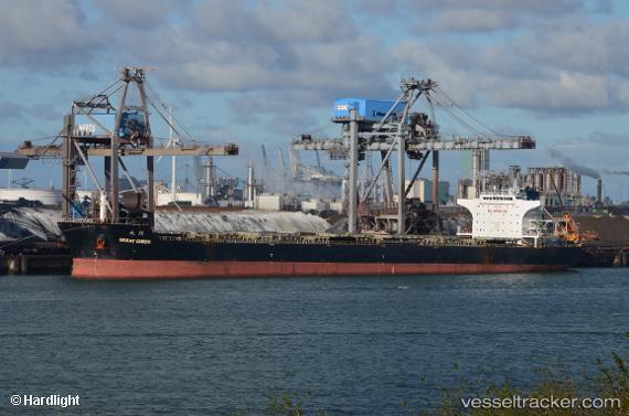
 REACHY SUMMER
Current Status
Where is the vessel?
REACHY SUMMER is currently in Near Ust-Luga, based on AIS data received about 15h ago.
Latest AIS update:
Current position: 59.68601° N, 28.42056° E (Near Ust-Luga)
Average speed (last 7 days): Loading…
Average speed (last 30 days): Loading…
Vessel profile: REACHY SUMMER is a Bulk Carrier with dimensions 38m x 230m.
This page combines live AIS, route history, probable destination signals, nearby traffic, and port activity for practical vessel monitoring.
The current position of vessel REACHY SUMMER is 59.68601 lat / 28.42056 lng. Updated: 2026-07-08 15:18:54 UTCNearest reference points:
- Near Ust'-Luga
- Near Ust-Luga
- Near Ruch’I
Currently sailing under the flag of Marshall Islands ![]()
REACHY SUMMER built in 2009 year
Deadweight:
93297 tDetails:
Live Vessel REACHY SUMMER Analytics (details, animations, etc.)
Recent AIS points (UTC):
2026-07-08 12:03:54 UTC · 59.68603, 28.42057 · SOG 0 kn · COG 182°2026-07-08 13:27:54 UTC · 59.68602, 28.42059 · SOG 0 kn · COG 181°
2026-07-08 14:54:54 UTC · 59.68603, 28.42057 · SOG 0 kn · COG 182°
2026-07-08 15:18:54 UTC · 59.68601, 28.42056 · SOG 0 kn · COG 182°