 ALICIA G
Current Status
Where is the vessel?
ALICIA G is currently in 68 nm E of Percé, based on AIS data received about 15h ago.
Latest AIS update:
Current position: 48.63167° N, 62.51333° W (68 nm E of Percé)
Average speed (last 7 days): Loading…
Average speed (last 30 days): Loading…
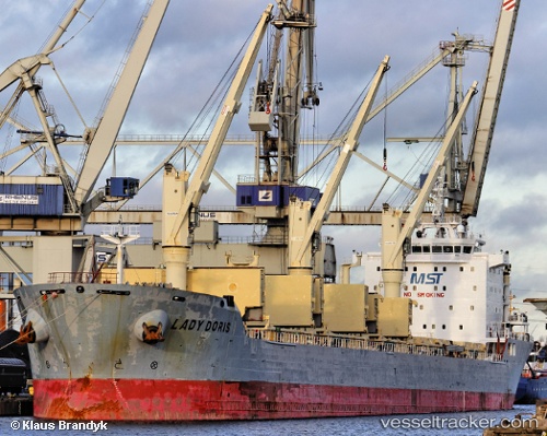
Vessel profile: ALICIA G is a Bulk Carrier with dimensions m x m.
This page combines live AIS, route history, probable destination signals, nearby traffic, and port activity for practical vessel monitoring.
The current position of vessel ALICIA G is 48.63167 lat / -62.51333 lng. Updated: 2026-05-24 19:18:33 UTCCurrently sailing under the flag of Portugal ![]()
Details:
Live Vessel ALICIA G Analytics (details, animations, etc.)
Recent AIS points (UTC):
2026-05-24 16:25:13 UTC · 48.93553, -63.28410 · SOG 12.3 kn · COG 121°2026-05-24 18:09:32 UTC · 48.74833, -62.82500 · SOG 12 kn · COG -1°
2026-05-24 19:09:28 UTC · 48.64667, -62.55333 · SOG 12 kn · COG -1°
2026-05-24 19:18:33 UTC · 48.63167, -62.51333 · SOG 12 kn · COG -1°