 P.ALIKI
Current Status
Where is the vessel?
P.ALIKI is currently in Near Karachi, based on AIS data received about 14h ago.
Latest AIS update:
Current position: 24.80597° N, 66.97735° E (Near Karachi)
Average speed (last 7 days): Loading…
Average speed (last 30 days): Loading…
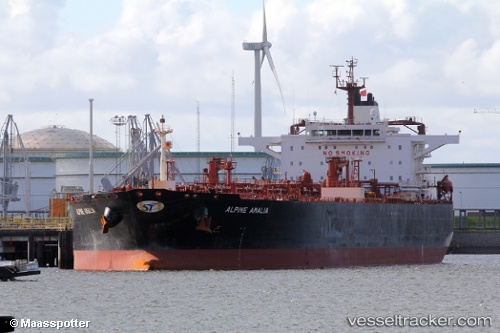
Vessel profile: P.ALIKI is a Crude Oil Tanker with dimensions m x m.
This page combines live AIS, route history, probable destination signals, nearby traffic, and port activity for practical vessel monitoring.
The current position of vessel P.ALIKI is 24.80597 lat / 66.97735 lng. Updated: 2026-05-20 15:27:34 UTCNearest reference points:
- Near Kiamari
- 16 nm S of Kiamari
- Near PORT QASIM
Currently sailing under the flag of Marshall Islands ![]()
Details:
Live Vessel P.ALIKI Analytics (details, animations, etc.)
Recent AIS points (UTC):
2026-05-20 11:29:18 UTC · 24.80595, 66.97733 · SOG 0.1 kn · COG -1°2026-05-20 13:06:34 UTC · 24.80594, 66.97733 · SOG 0 kn · COG 338°
2026-05-20 13:33:34 UTC · 24.80594, 66.97736 · SOG 0 kn · COG 338°
2026-05-20 15:27:34 UTC · 24.80597, 66.97735 · SOG 0 kn · COG 338°