 MINH PROVIDENCE
Current Status
Where is the vessel?
MINH PROVIDENCE is currently in 100 nm NW of Bangui, based on AIS data received about 14h ago.
Latest AIS update:
Current position: 19.97315° N, 119.87417° E (100 nm NW of Bangui)
Average speed (last 7 days): Loading…
Average speed (last 30 days): Loading…
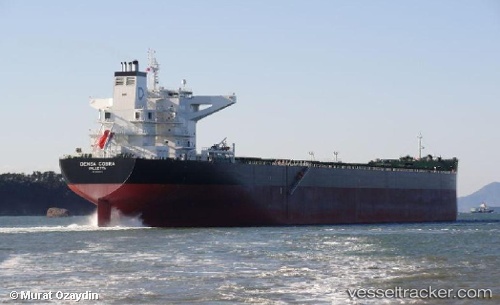
Vessel profile: MINH PROVIDENCE is a Bulk Carrier with dimensions m x m.
This page combines live AIS, route history, probable destination signals, nearby traffic, and port activity for practical vessel monitoring.
The current position of vessel MINH PROVIDENCE is 19.97315 lat / 119.87417 lng. Updated: 2026-05-19 22:43:03 UTCNearest reference points:
- 132 nm SW of Kaohsiung
- 106 nm W of Basco
- 101 nm S of Kaohsiung
Currently sailing under the flag of Marshall Islands ![]()
Details:
Live Vessel MINH PROVIDENCE Analytics (details, animations, etc.)
Recent AIS points (UTC):
2026-05-19 19:16:26 UTC · 19.58959, 119.47156 · SOG 10 kn · COG -1°2026-05-19 20:11:32 UTC · 19.69492, 119.59544 · SOG 9.8 kn · COG -1°
2026-05-19 21:20:28 UTC · 19.81646, 119.73165 · SOG 8.8 kn · COG -1°
2026-05-19 22:43:03 UTC · 19.97315, 119.87417 · SOG 8.6 kn · COG -1°