 CHARLESTON
Current Status
Where is the vessel?
CHARLESTON is currently in 221 nm SE of Fort Dauphin, based on AIS data received about 15h ago.
Latest AIS update:
Current position: 27.71261° S, 49.82272° E (221 nm SE of Fort Dauphin)
Average speed (last 7 days): Loading…
Average speed (last 30 days): Loading…
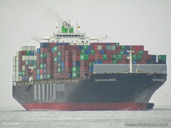
Vessel profile: CHARLESTON is a Container Ship with dimensions m x m.
This page combines live AIS, route history, probable destination signals, nearby traffic, and port activity for practical vessel monitoring.
The current position of vessel CHARLESTON is -27.71261 lat / 49.82272 lng. Updated: 2026-05-21 22:18:06 UTCNearest reference points:
- 271 nm E of Fort Dauphin
- Open sea, approx. 401 nm off the nearest listed port
- Open sea, approx. 404 nm off the nearest listed port
Currently sailing under the flag of Liberia ![]()
Details:
Live Vessel CHARLESTON Analytics (details, animations, etc.)
Recent AIS points (UTC):
2026-05-21 19:06:57 UTC · -28.10365, 48.73136 · SOG 19.4 kn · COG 70°2026-05-21 20:07:35 UTC · -27.97511, 49.07245 · SOG 19.7 kn · COG 71°
2026-05-21 22:02:53 UTC · -27.74312, 49.73493 · SOG 19.5 kn · COG 71°
2026-05-21 22:18:06 UTC · -27.71261, 49.82272 · SOG 19.7 kn · COG 71°