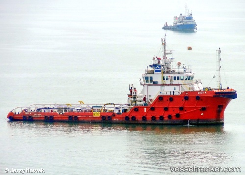
 DIDI K
Current Status
Where is the vessel?
DIDI K is currently in Near LA PALOMA, based on AIS data received about 15h ago.
Latest AIS update:
Current position: 34.65167° S, 54.14333° W (Near LA PALOMA)
Average speed (last 7 days): Loading…
Average speed (last 30 days): Loading…
Vessel profile: DIDI K is a Anchor Handling Vessel with dimensions m x m.
This page combines live AIS, route history, probable destination signals, nearby traffic, and port activity for practical vessel monitoring.
The current position of vessel DIDI K is -34.65167 lat / -54.14333 lng. Updated: 2026-05-21 22:26:47 UTCNearest reference points:
- 21 nm E of PUNTA DEL ESTE
- 12 nm S of Piriápolis
- 55 nm SE of Chui
Details:
Live Vessel DIDI K Analytics (details, animations, etc.)
Recent AIS points (UTC):
2026-05-21 19:26:46 UTC · -34.65167, -54.14333 · SOG 0 kn · COG -1°2026-05-21 19:38:45 UTC · -34.65167, -54.14333 · SOG 0 kn · COG -1°
2026-05-21 21:59:46 UTC · -34.65167, -54.14333 · SOG 0 kn · COG -1°
2026-05-21 22:26:47 UTC · -34.65167, -54.14333 · SOG 0 kn · COG -1°