 vesseltracker.com
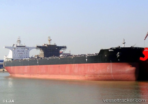
 EMIL
EMIL
Current Status
Where is the vessel?
EMIL is currently in 15 nm W of Bozcaada, based on AIS data received about 2h ago.
Latest AIS update:
Current position: 39.81211° N, 25.74529° E (15 nm W of Bozcaada)
Average speed (last 7 days): Loading…
Average speed (last 30 days): Loading…
Vessel profile: EMIL is a Bulk Carrier with dimensions m x m.
This page combines live AIS, route history, probable destination signals, nearby traffic, and port activity for practical vessel monitoring.
The current position of vessel EMIL is 39.81211 lat / 25.74529 lng. Updated: 2026-04-19 19:06:27 UTCNearest reference points:
- 14 nm SW of Bozcaada
- 14 nm NW of Baba Point
- Near Baba Point
Currently sailing under the flag of Liberia ![]()
Details:
Live Vessel EMIL Analytics (details, animations, etc.)
Recent AIS points (UTC):
2026-04-19 16:02:37 UTC · 40.07930, 26.30685 · SOG 11.5 kn · COG 230°2026-04-19 16:07:37 UTC · 40.06958, 26.29014 · SOG 11.5 kn · COG 235°
2026-04-19 17:37:47 UTC · 40.00012, 25.96786 · SOG 10 kn · COG 240°
2026-04-19 19:06:27 UTC · 39.81211, 25.74529 · SOG 10.2 kn · COG 217°