 Gulf Barakah
Current Status
Where is the vessel?
Gulf Barakah is currently in Near Mombasa, based on AIS data received about 14h ago.
Latest AIS update:
Current position: 4.05087° S, 39.61535° E (Near Mombasa)
Average speed (last 7 days): Loading…
Average speed (last 30 days): Loading…
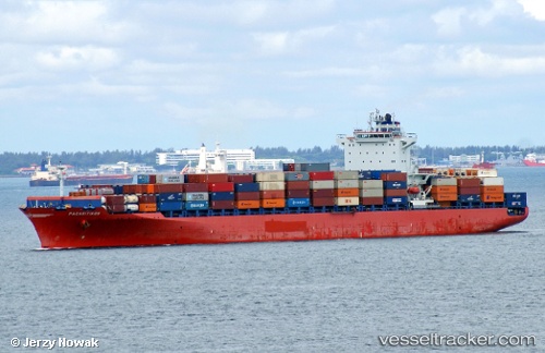
Vessel profile: Gulf Barakah is a Container Ship with dimensions 32m x 262m.
This page combines live AIS, route history, probable destination signals, nearby traffic, and port activity for practical vessel monitoring.
The current position of vessel Gulf Barakah is -4.05087 lat / 39.61535 lng. Updated: 2026-06-17 12:06:43 UTCNearest reference points:
- Near Mombasa
- 11 nm SE of Mombasa
Currently sailing under the flag of Marshall Is ![]()
Gulf Barakah built in 0 year
Deadweight:
0 tDetails:
Live Vessel Gulf Barakah Analytics (details, animations, etc.)
Recent AIS points (UTC):
2026-06-17 08:07:07 UTC · -4.05079, 39.62285 · SOG 3.2 kn · COG 254°2026-06-17 10:00:45 UTC · -4.05093, 39.61532 · SOG 0.1 kn · COG 252°
2026-06-17 10:12:45 UTC · -4.05086, 39.61530 · SOG 0.1 kn · COG 252°
2026-06-17 12:06:43 UTC · -4.05087, 39.61535 · SOG 0 kn · COG 252°