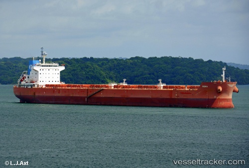
 FJELD FREIA
Current Status
Where is the vessel?
FJELD FREIA is currently in 21 nm SE of Polillo, Polillo Isl, based on AIS data received about 7d ago.
Latest AIS update:
Current position: 14.53217° N, 122.24680° E (21 nm SE of Polillo, Polillo Isl)
Average speed (last 7 days): Loading…
Average speed (last 30 days): Loading…
Vessel profile: FJELD FREIA is a Bulk Carrier with dimensions m x m.
This page combines live AIS, route history, probable destination signals, nearby traffic, and port activity for practical vessel monitoring.
The current position of vessel FJELD FREIA is 14.53217 lat / 122.24680 lng. Updated: 2026-05-14 13:31:00 UTCNearest reference points:
- Near MANILA SOUTH HARBOR
- Near Caloocan City
- Near Malabon
Currently sailing under the flag of Marshall Islands ![]()
Details:
Live Vessel FJELD FREIA Analytics (details, animations, etc.)
Recent AIS points (UTC):
2026-05-14 13:31:00 UTC · 14.53217, 122.24680 · SOG 11.3 kn · COG 262°2026-05-14 13:31:00 UTC · 14.53217, 122.24680 · SOG 11.3 kn · COG 262°
2026-05-14 13:31:00 UTC · 14.53217, 122.24680 · SOG 11.3 kn · COG 262°
2026-05-14 13:31:00 UTC · 14.53217, 122.24680 · SOG 11.3 kn · COG 262°