 PH MINH GIANG
Current Status
Where is the vessel?
PH MINH GIANG is currently in 39 nm E of Lusi, based on AIS data received about 14h ago.
Latest AIS update:
Current position: 32.28500° N, 122.33333° E (39 nm E of Lusi)
Average speed (last 7 days): Loading…
Average speed (last 30 days): Loading…
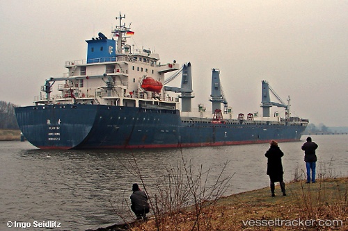
Vessel profile: PH MINH GIANG is a Bulk Carrier with dimensions 24m x 160m.
This page combines live AIS, route history, probable destination signals, nearby traffic, and port activity for practical vessel monitoring.
The current position of vessel PH MINH GIANG is 32.28500 lat / 122.33333 lng. Updated: 2026-07-08 18:57:48 UTCNearest reference points:
- 52 nm E of Lusi
- 14 nm N of Lusi
- Near Lusi
Currently sailing under the flag of Panama ![]()
PH MINH GIANG built in 2008 year
Deadweight:
22019 tDetails:
Live Vessel PH MINH GIANG Analytics (details, animations, etc.)
Recent AIS points (UTC):
2026-07-08 14:57:48 UTC · 32.28333, 122.33833 · SOG 0 kn · COG -1°2026-07-08 16:18:19 UTC · 32.28428, 122.33753 · SOG 0.1 kn · COG -1°
2026-07-08 18:03:50 UTC · 32.28333, 122.33333 · SOG 0 kn · COG -1°
2026-07-08 18:57:48 UTC · 32.28500, 122.33333 · SOG 0 kn · COG -1°