 vesseltracker.com
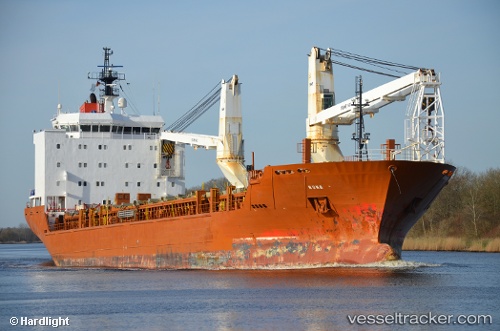
 NUNALIK
Current Status
Where is the vessel?
NUNALIK is currently in 11 nm NE of Eisken, based on AIS data received less than 1h ago.
Latest AIS update:
Current position: 58.67279° N, 6.18862° W (11 nm NE of Eisken)
Average speed (last 7 days): Loading…
Average speed (last 30 days): Loading…
Vessel profile: NUNALIK is a General Cargo with dimensions m x m.
This page combines live AIS, route history, probable destination signals, nearby traffic, and port activity for practical vessel monitoring.
The current position of vessel NUNALIK is 58.67279 lat / -6.18862 lng. Updated: 2026-05-15 05:07:35 UTCNearest reference points:
- Near Culkein
- Near North Harris
- Near KYLE OF LOCHALSH
Currently sailing under the flag of Netherlands ![]()
Details:
Live Vessel NUNALIK Analytics (details, animations, etc.)
Recent AIS points (UTC):
2026-05-14 23:47:57 UTC · 58.50030, -8.32186 · SOG 13 kn · COG 79°2026-05-15 01:11:47 UTC · 58.53487, -7.75579 · SOG 12.8 kn · COG 79°
2026-05-15 03:45:47 UTC · 58.63165, -6.73201 · SOG 12.4 kn · COG 78°
2026-05-15 05:07:35 UTC · 58.67279, -6.18862 · SOG 11.9 kn · COG 78°