 PABELA
Current Status
Where is the vessel?
PABELA is currently in Near Chongming, based on AIS data received about 26d ago.
Latest AIS update:
Current position: 31.59442° N, 121.44825° E (Near Chongming)
Average speed (last 7 days): Loading…
Average speed (last 30 days): Loading…
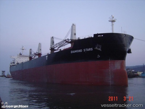
Vessel profile: PABELA is a Bulk Carrier with dimensions 32m x 190m.
This page combines live AIS, route history, probable destination signals, nearby traffic, and port activity for practical vessel monitoring.
The current position of vessel PABELA is 31.59442 lat / 121.44825 lng. Updated: 2026-04-25 05:49:46 UTCNearest reference points:
- Near Chongming
- Near Baoshan Pt
- Near Taicang
Currently sailing under the flag of Liberia ![]()
PABELA built in 2011 year
Deadweight:
55389 tDetails:
Live Vessel PABELA Analytics (details, animations, etc.)
Recent AIS points (UTC):
2026-04-25 05:49:46 UTC · 31.59442, 121.44825 · SOG 0 kn · COG -1°