 YASA AQUALINA
Current Status
Where is the vessel?
YASA AQUALINA is currently in 102 nm SW of Sanchidrian, based on AIS data received about 14h ago.
Latest AIS update:
Current position: 39.34146° N, 44.78233° W (102 nm SW of Sanchidrian)
Average speed (last 7 days): Loading…
Average speed (last 30 days): Loading…
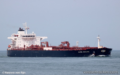
Vessel profile: YASA AQUALINA is a Crude Oil Tanker with dimensions m x m.
This page combines live AIS, route history, probable destination signals, nearby traffic, and port activity for practical vessel monitoring.
The current position of vessel YASA AQUALINA is 39.34146 lat / -44.78233 lng. Updated: 2026-05-21 04:20:13 UTCCurrently sailing under the flag of Marshall Islands ![]()
Details:
Live Vessel YASA AQUALINA Analytics (details, animations, etc.)
Recent AIS points (UTC):
2026-05-20 23:55:32 UTC · 39.22824, -45.94902 · SOG 12.5 kn · COG 81°2026-05-21 01:33:13 UTC · 39.26668, -45.51219 · SOG 12.5 kn · COG 80°
2026-05-21 01:48:02 UTC · 39.27326, -45.44593 · SOG 12.4 kn · COG 80°
2026-05-21 04:20:13 UTC · 39.34146, -44.78233 · SOG 12.6 kn · COG 82°