 CAPE TRADER
Current Status
Where is the vessel?
CAPE TRADER is currently in 14 nm S of Abu Musa, based on AIS data received about 19h ago.
Latest AIS update:
Current position: 25.63930° N, 55.07123° E (14 nm S of Abu Musa)
Average speed (last 7 days): Loading…
Average speed (last 30 days): Loading…
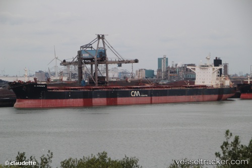
Vessel profile: CAPE TRADER is a Bulk Carrier with dimensions 290m x 45m.
This page combines live AIS, route history, probable destination signals, nearby traffic, and port activity for practical vessel monitoring.
The current position of vessel CAPE TRADER is 25.63930 lat / 55.07123 lng. Updated: 2026-05-20 22:34:01 UTCNearest reference points:
- 17 nm NW of Free Port
- Near Sharjah
- Near Free Port
Currently sailing under the flag of Liberia ![]()
CAPE TRADER built in 2008 year
Deadweight:
169237 tDetails:
Live Vessel CAPE TRADER Analytics (details, animations, etc.)
Recent AIS points (UTC):
2026-05-20 22:34:01 UTC · 25.63930, 55.07123 · SOG 3 kn · COG 180°2026-05-20 22:34:01 UTC · 25.63930, 55.07123 · SOG 3 kn · COG 180°
2026-05-20 22:34:01 UTC · 25.63930, 55.07123 · SOG 3 kn · COG 180°
2026-05-20 22:34:01 UTC · 25.63930, 55.07123 · SOG 3 kn · COG 180°