 LOUISE
Current Status
Where is the vessel?
LOUISE is currently in 70 nm NE of Fortaleza, based on AIS data received about 15h ago.
Latest AIS update:
Current position: 3.18732° S, 37.46869° W (70 nm NE of Fortaleza)
Average speed (last 7 days): Loading…
Average speed (last 30 days): Loading…
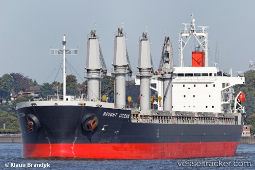
Vessel profile: LOUISE is a Bulk Carrier with dimensions m x m.
This page combines live AIS, route history, probable destination signals, nearby traffic, and port activity for practical vessel monitoring.
The current position of vessel LOUISE is -3.18732 lat / -37.46869 lng. Updated: 2026-05-20 11:58:31 UTCNearest reference points:
- 28 nm N of Pecém Pt/São Gonçalo do Amarante
- 169 nm N of Pecém Pt/São Gonçalo do Amarante
Currently sailing under the flag of Marshall Islands ![]()
Details:
Live Vessel LOUISE Analytics (details, animations, etc.)
Recent AIS points (UTC):
2026-05-20 07:55:34 UTC · -3.72845, -36.62606 · SOG 14.3 kn · COG 305°2026-05-20 09:23:15 UTC · -3.53862, -36.92005 · SOG 14.6 kn · COG 306°
2026-05-20 11:03:23 UTC · -3.31477, -37.27491 · SOG 15.3 kn · COG 306°
2026-05-20 11:58:31 UTC · -3.18732, -37.46869 · SOG 15 kn · COG 304°