 RIGHT COURSE
Current Status
Where is the vessel?
RIGHT COURSE is currently in Near Kotka, based on AIS data received about 14h ago.
Latest AIS update:
Current position: 60.42687° N, 26.92014° E (Near Kotka)
Average speed (last 7 days): Loading…
Average speed (last 30 days): Loading…
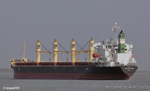
Vessel profile: RIGHT COURSE is a Bulk Carrier with dimensions m x m.
This page combines live AIS, route history, probable destination signals, nearby traffic, and port activity for practical vessel monitoring.
The current position of vessel RIGHT COURSE is 60.42687 lat / 26.92014 lng. Updated: 2026-05-22 10:55:03 UTCNearest reference points:
- Near Lakulahti
- 27 nm S of Klamila
- Near Vessölandet
Currently sailing under the flag of Panama ![]()
Details:
Live Vessel RIGHT COURSE Analytics (details, animations, etc.)
Recent AIS points (UTC):
2026-05-22 07:25:04 UTC · 60.42691, 26.92011 · SOG 0 kn · COG 310°2026-05-22 07:55:09 UTC · 60.42690, 26.92011 · SOG 0.1 kn · COG 310°
2026-05-22 10:01:06 UTC · 60.42692, 26.92008 · SOG 0 kn · COG 310°
2026-05-22 10:55:03 UTC · 60.42687, 26.92014 · SOG 0 kn · COG 310°