 Msc Taranto
Current Status
Where is the vessel?
Msc Taranto is currently in Near Gonglu, based on AIS data received about 15h ago.
Latest AIS update:
Current position: 31.34756° N, 121.66585° E (Near Gonglu)
Average speed (last 7 days): Loading…
Average speed (last 30 days): Loading…
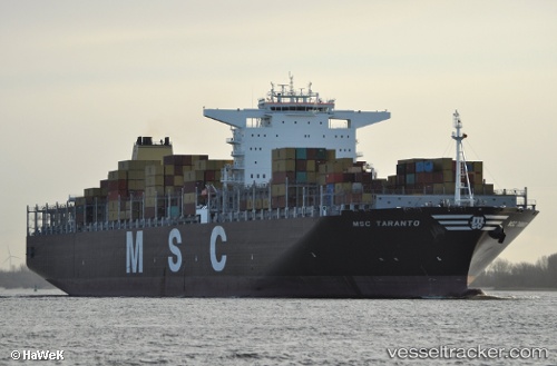
Vessel profile: Msc Taranto is a Container Ship with dimensions 366m x 51m.
This page combines live AIS, route history, probable destination signals, nearby traffic, and port activity for practical vessel monitoring.
The current position of vessel Msc Taranto is 31.34756 lat / 121.66585 lng. Updated: 2026-05-19 05:07:05 UTCNearest reference points:
- Near Gonglu
- Near Wu-Sung
- Near Jinqiao
Currently sailing under the flag of Liberia ![]()
Msc Taranto built in 2011 year
Deadweight:
166085 tDetails:
Live Vessel Msc Taranto Analytics (details, animations, etc.)
Recent AIS points (UTC):
2026-05-19 01:45:28 UTC · 31.03395, 122.30291 · SOG 9.4 kn · COG 275°2026-05-19 01:59:57 UTC · 31.03959, 122.25781 · SOG 9.8 kn · COG 280°
2026-05-19 03:56:09 UTC · 31.17073, 121.85844 · SOG 12.1 kn · COG 314°
2026-05-19 05:07:05 UTC · 31.34756, 121.66585 · SOG 10.1 kn · COG 294°