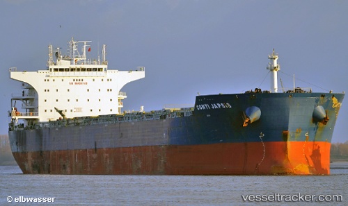
Chinook
Current StatusWhere is the vessel?
Chinook is currently in Near Baltimore, based on AIS data received about 14h ago.
Latest AIS update:
Current position: 39.25720° N, 76.56516° W (Near Baltimore)
Average speed (last 7 days): Loading…
Average speed (last 30 days): Loading…
Vessel profile: Chinook is a Bulk Carrier with dimensions 38m x 229m.
This page combines live AIS, route history, probable destination signals, nearby traffic, and port activity for practical vessel monitoring.
The current position of vessel Chinook is 39.25720 lat / -76.56516 lng. Updated: 2026-05-20 00:23:37 UTCNearest reference points:
- Near Baltimore
- Near South Baltimore
- Near DUNDALK
Details:
Live Vessel Chinook Analytics (details, animations, etc.)
Recent AIS points (UTC):
2026-05-19 20:26:33 UTC · 39.25719, -76.56517 · SOG 0 kn · COG 355°2026-05-19 22:05:33 UTC · 39.25719, -76.56512 · SOG 0 kn · COG 355°
2026-05-19 23:02:34 UTC · 39.25718, -76.56515 · SOG 0 kn · COG 355°
2026-05-20 00:23:37 UTC · 39.25720, -76.56516 · SOG 0 kn · COG 355°