W star
Current StatusWhere is the vessel?
W star is currently in 185 nm SW of Eauripik Atoll, based on AIS data received about 15h ago.
Latest AIS update:
Current position: 4.46500° N, 140.92667° E (185 nm SW of Eauripik Atoll)
Average speed (last 7 days): Loading…
Average speed (last 30 days): Loading…
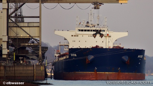
Vessel profile: W star is a Bulk Carrier with dimensions 38m x 230m.
This page combines live AIS, route history, probable destination signals, nearby traffic, and port activity for practical vessel monitoring.
The current position of vessel W star is 4.46500 lat / 140.92667 lng. Updated: 2026-05-21 04:24:24 UTCDetails:
Live Vessel W star Analytics (details, animations, etc.)
Recent AIS points (UTC):
2026-05-21 01:18:25 UTC · 5.05500, 140.52834 · SOG 14 kn · COG -1°2026-05-21 01:33:22 UTC · 5.00500, 140.56332 · SOG 14 kn · COG -1°
2026-05-21 03:36:24 UTC · 4.60833, 140.83501 · SOG 12 kn · COG -1°
2026-05-21 04:24:24 UTC · 4.46500, 140.92667 · SOG 12 kn · COG -1°