 EXELIXSEA
Current Status
Where is the vessel?
EXELIXSEA is currently in Open sea, approx. 458 nm off the nearest listed port, based on AIS data received about 14h ago.
Latest AIS update:
Current position: 23.06743° S, 20.69984° W (Open sea, approx. 458 nm off the nearest listed port)
Average speed (last 7 days): Loading…
Average speed (last 30 days): Loading…
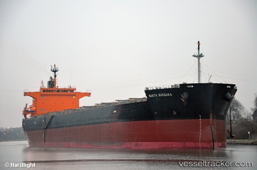
Vessel profile: EXELIXSEA is a Bulk Carrier with dimensions m x m.
This page combines live AIS, route history, probable destination signals, nearby traffic, and port activity for practical vessel monitoring.
The current position of vessel EXELIXSEA is -23.06743 lat / -20.69984 lng. Updated: 2026-05-21 01:26:45 UTCNearest reference points:
- Open sea, approx. 458 nm off the nearest listed port
- Open sea (no nearby ports in database)
- Open sea, approx. 437 nm off the nearest listed port
Currently sailing under the flag of Marshall Islands ![]()
Details:
Live Vessel EXELIXSEA Analytics (details, animations, etc.)
Recent AIS points (UTC):
2026-05-20 21:29:13 UTC · -22.70351, -21.43003 · SOG 11.4 kn · COG 119°2026-05-20 22:36:35 UTC · -22.81302, -21.22527 · SOG 11.9 kn · COG 120°
2026-05-20 23:50:34 UTC · -22.92566, -20.99649 · SOG 11.5 kn · COG 118°
2026-05-21 01:26:45 UTC · -23.06743, -20.69984 · SOG 11.7 kn · COG 118°