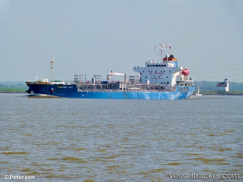
 Chem Taurus
Current Status
Where is the vessel?
Chem Taurus is currently in Near Lívingston, based on AIS data received about 14h ago.
Latest AIS update:
Current position: 15.84876° N, 88.61592° W (Near Lívingston)
Average speed (last 7 days): Loading…
Average speed (last 30 days): Loading…
Vessel profile: Chem Taurus is a Chemical Oil Products Tanker with dimensions 146m x 146m.
This page combines live AIS, route history, probable destination signals, nearby traffic, and port activity for practical vessel monitoring.
The current position of vessel Chem Taurus is 15.84876 lat / -88.61592 lng. Updated: 2026-05-29 10:00:23 UTCNearest reference points:
- 14 nm NW of Puerto Cortes
- 12 nm SW of Dangriga
- 26 nm SE of Dangriga
Currently sailing under the flag of Liberia ![]()
Chem Taurus built in 2010 year
Deadweight:
19961 tDetails:
Live Vessel Chem Taurus Analytics (details, animations, etc.)
Recent AIS points (UTC):
2026-05-29 07:21:21 UTC · 15.84977, -88.61624 · SOG 0 kn · COG 230°2026-05-29 07:27:22 UTC · 15.84982, -88.61629 · SOG 0 kn · COG 224°
2026-05-29 09:39:24 UTC · 15.84913, -88.61587 · SOG 0 kn · COG 256°
2026-05-29 10:00:23 UTC · 15.84876, -88.61592 · SOG 0 kn · COG 269°