 TK ORTAKOY
Current Status
Where is the vessel?
TK ORTAKOY is currently in 75 nm SW of Punta de Mita, based on AIS data received about 14h ago.
Latest AIS update:
Current position: 20.13890° N, 106.66071° W (75 nm SW of Punta de Mita)
Average speed (last 7 days): Loading…
Average speed (last 30 days): Loading…
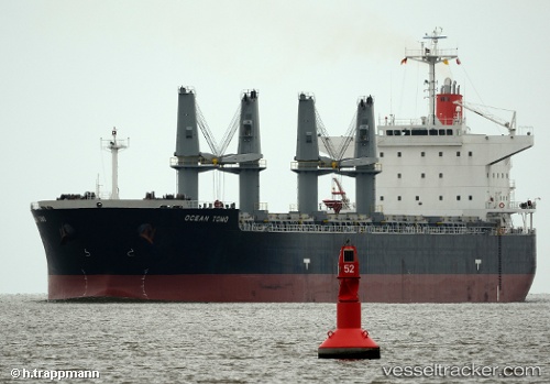
Vessel profile: TK ORTAKOY is a Bulk Carrier with dimensions m x m.
This page combines live AIS, route history, probable destination signals, nearby traffic, and port activity for practical vessel monitoring.
The current position of vessel TK ORTAKOY is 20.13890 lat / -106.66071 lng. Updated: 2026-05-21 02:23:47 UTCNearest reference points:
- 35 nm S of Nayarit
- Near NUEVO VALLARTA
Currently sailing under the flag of Panama ![]()
Details:
Live Vessel TK ORTAKOY Analytics (details, animations, etc.)
Recent AIS points (UTC):
2026-05-20 21:37:07 UTC · 20.64096, -107.51299 · SOG 11.7 kn · COG 117°2026-05-20 22:40:16 UTC · 20.53267, -107.32606 · SOG 11.8 kn · COG 117°
2026-05-21 02:18:47 UTC · 20.14916, -106.67473 · SOG 12 kn · COG 125°
2026-05-21 02:23:47 UTC · 20.13890, -106.66071 · SOG 12.1 kn · COG 123°