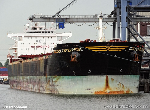
 CAPE GRECO
Current Status
Where is the vessel?
CAPE GRECO is currently in Near Guarujá, based on AIS data received about 15h ago.
Latest AIS update:
Current position: 24.13987° S, 46.25573° W (Near Guarujá)
Average speed (last 7 days): Loading…
Average speed (last 30 days): Loading…
Vessel profile: CAPE GRECO is a Bulk Carrier with dimensions 32m x 229m.
This page combines live AIS, route history, probable destination signals, nearby traffic, and port activity for practical vessel monitoring.
The current position of vessel CAPE GRECO is -24.13987 lat / -46.25573 lng. Updated: 2026-05-20 19:25:44 UTCNearest reference points:
- Near Guarujá
- Near Santos
- 36 nm S of Guarujá
Currently sailing under the flag of Liberia ![]()
CAPE GRECO built in 2011 year
Deadweight:
79471 tDetails:
Live Vessel CAPE GRECO Analytics (details, animations, etc.)
Recent AIS points (UTC):
2026-05-20 16:10:42 UTC · -24.14045, -46.25448 · SOG 0 kn · COG 222°2026-05-20 16:37:44 UTC · -24.14007, -46.25545 · SOG 0.2 kn · COG 218°
2026-05-20 18:16:42 UTC · -24.13987, -46.25592 · SOG 0.1 kn · COG 205°
2026-05-20 19:25:44 UTC · -24.13987, -46.25573 · SOG 0 kn · COG 209°