 GCL TAPI
Current Status
Where is the vessel?
GCL TAPI is currently in 97 nm SW of Nindakara, based on AIS data received about 14h ago.
Latest AIS update:
Current position: 7.74333° N, 75.43167° E (97 nm SW of Nindakara)
Average speed (last 7 days): Loading…
Average speed (last 30 days): Loading…
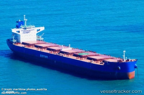
Vessel profile: GCL TAPI is a Bulk Carrier with dimensions 43m x 254m.
This page combines live AIS, route history, probable destination signals, nearby traffic, and port activity for practical vessel monitoring.
The current position of vessel GCL TAPI is 7.74333 lat / 75.43167 lng. Updated: 2026-05-20 17:54:36 UTCNearest reference points:
- 91 nm S of Nagercoil
- 41 nm S of Nagercoil
- Near Edappally
Currently sailing under the flag of Singapore ![]()
GCL TAPI built in 2012 year
Deadweight:
106415 tDetails:
Live Vessel GCL TAPI Analytics (details, animations, etc.)
Recent AIS points (UTC):
2026-05-20 13:27:41 UTC · 8.06833, 74.71333 · SOG 10 kn · COG -1°2026-05-20 15:30:41 UTC · 7.91833, 75.04333 · SOG 10 kn · COG -1°
2026-05-20 16:42:37 UTC · 7.83167, 75.23833 · SOG 10 kn · COG -1°
2026-05-20 17:54:36 UTC · 7.74333, 75.43167 · SOG 10 kn · COG -1°