 DSM LONDON
Current Status
Where is the vessel?
DSM LONDON is currently in 16 nm W of Pulau Jarak, based on AIS data received about 14h ago.
Latest AIS update:
Current position: 3.96167° N, 99.81833° E (16 nm W of Pulau Jarak)
Average speed (last 7 days): Loading…
Average speed (last 30 days): Loading…
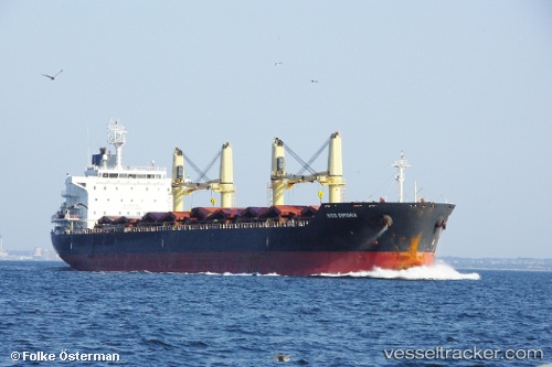
Vessel profile: DSM LONDON is a Bulk Carrier with dimensions m x m.
This page combines live AIS, route history, probable destination signals, nearby traffic, and port activity for practical vessel monitoring.
The current position of vessel DSM LONDON is 3.96167 lat / 99.81833 lng. Updated: 2026-05-22 05:40:03 UTCNearest reference points:
- 43 nm NE of Perbaungan
- 11 nm W of Pangkur
- Near PANGKOR
Currently sailing under the flag of Barbados ![]()
Details:
Live Vessel DSM LONDON Analytics (details, animations, etc.)
Recent AIS points (UTC):
2026-05-22 01:38:37 UTC · 4.53667, 99.33167 · SOG 11 kn · COG -1°2026-05-22 03:56:39 UTC · 4.20624, 99.61381 · SOG 11 kn · COG 136°
2026-05-22 04:51:46 UTC · 4.07500, 99.72167 · SOG 11 kn · COG -1°
2026-05-22 05:40:03 UTC · 3.96167, 99.81833 · SOG 11 kn · COG -1°