 MR.K
MR.K
Current Status
Where is the vessel?
MR.K is currently in Near Frikes Ithakis, based on AIS data received about 14h ago.
Latest AIS update:
Current position: 38.46452° N, 20.66704° E (Near Frikes Ithakis)
Average speed (last 7 days): Loading…
Average speed (last 30 days): Loading…
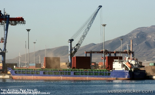
Vessel profile: MR.K is a General Cargo with dimensions m x m.
This page combines live AIS, route history, probable destination signals, nearby traffic, and port activity for practical vessel monitoring.
The current position of vessel MR.K is 38.46452 lat / 20.66704 lng. Updated: 2026-06-13 07:52:38 UTCNearest reference points:
- Near Meganísi
- Near Nidhríon
- Near LEFKADA
Currently sailing under the flag of Malta ![]()
Details:
Live Vessel MR.K Analytics (details, animations, etc.)
Recent AIS points (UTC):
2026-06-13 04:22:51 UTC · 38.36953, 20.71501 · SOG 0 kn · COG 117°2026-06-13 06:26:54 UTC · 38.48266, 20.67831 · SOG 6.6 kn · COG 28°
2026-06-13 07:49:41 UTC · 38.46452, 20.66703 · SOG 0 kn · COG 91°
2026-06-13 07:52:38 UTC · 38.46452, 20.66704 · SOG 0 kn · COG 90°