 vesseltracker.com
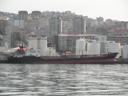
 ONLY NOW 3
Current Status
Where is the vessel?
ONLY NOW 3 is currently in Near DIDIM, based on AIS data received about 13d ago.
Latest AIS update:
Current position: 37.33940° N, 27.26438° E (Near DIDIM)
Average speed (last 7 days): Loading…
Average speed (last 30 days): Loading…
Vessel profile: ONLY NOW 3 is a Asphalt/Bitumen Tanker with dimensions m x m.
This page combines live AIS, route history, probable destination signals, nearby traffic, and port activity for practical vessel monitoring.
The current position of vessel ONLY NOW 3 is 37.33940 lat / 27.26438 lng. Updated: 2026-05-05 05:39:09 UTCNearest reference points:
- Near DIDIM
- Near TURGUTREIS
- Near BODRUM
Currently sailing under the flag of Cook Islands ![]()
Details:
Live Vessel ONLY NOW 3 Analytics (details, animations, etc.)
Recent AIS points (UTC):
2026-05-05 05:39:09 UTC · 37.33940, 27.26438 · SOG 0 kn · COG -1°2026-05-05 05:39:09 UTC · 37.33940, 27.26438 · SOG 0 kn · COG -1°
2026-05-05 05:39:09 UTC · 37.33940, 27.26438 · SOG 0 kn · COG -1°
2026-05-05 05:39:09 UTC · 37.33940, 27.26438 · SOG 0 kn · COG -1°