 Globe Electra
Current Status
Where is the vessel?
Globe Electra is currently in 249 nm S of Burzaco, based on AIS data received about 14h ago.
Latest AIS update:
Current position: 38.77152° S, 36.38630° W (249 nm S of Burzaco)
Average speed (last 7 days): Loading…
Average speed (last 30 days): Loading…
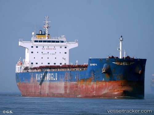
Vessel profile: Globe Electra is a Bulk Carrier with dimensions 229m x 32m.
This page combines live AIS, route history, probable destination signals, nearby traffic, and port activity for practical vessel monitoring.
The current position of vessel Globe Electra is -38.77152 lat / -36.38630 lng. Updated: 2026-05-21 01:46:59 UTCNearest reference points:
- 225 nm S of Burzaco
Currently sailing under the flag of Marshall Is ![]()
Globe Electra built in 2010 year
Deadweight:
80370 tDetails:
Live Vessel Globe Electra Analytics (details, animations, etc.)
Recent AIS points (UTC):
2026-05-20 22:19:27 UTC · -38.85102, -35.89230 · SOG 6.8 kn · COG 278°2026-05-20 23:52:25 UTC · -38.81320, -36.10360 · SOG 6.7 kn · COG 276°
2026-05-21 01:32:55 UTC · -38.77797, -36.35577 · SOG 6.9 kn · COG 278°
2026-05-21 01:46:59 UTC · -38.77152, -36.38630 · SOG 6 kn · COG 277°