 vesseltracker.com
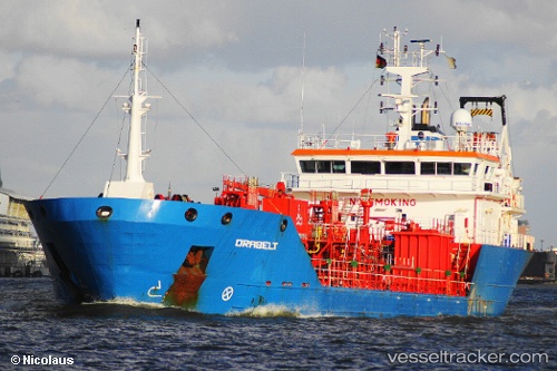
 Alacati
Current Status
Where is the vessel?
Alacati is currently in Near Marmara Ereglisi, based on AIS data received about 1h ago.
Latest AIS update:
Current position: 41.00800° N, 27.99572° E (Near Marmara Ereglisi)
Average speed (last 7 days): Loading…
Average speed (last 30 days): Loading…
Vessel profile: Alacati is a Chemical Oil Products Tanker with dimensions 85m x 15m.
This page combines live AIS, route history, probable destination signals, nearby traffic, and port activity for practical vessel monitoring.
The current position of vessel Alacati is 41.00800 lat / 27.99572 lng. Updated: 2026-05-14 00:16:34 UTCNearest reference points:
- Near Saraylar
- Near TEKIRDAG
- 11 nm E of Erdek
Currently sailing under the flag of Turkey ![]()
Alacati built in 2009 year
Deadweight:
4139 tDetails:
Live Vessel Alacati Analytics (details, animations, etc.)
Recent AIS points (UTC):
2026-05-13 20:16:13 UTC · 41.00796, 27.99572 · SOG 0 kn · COG 53°2026-05-13 21:34:16 UTC · 41.00796, 27.99568 · SOG 0 kn · COG 53°
2026-05-13 22:43:52 UTC · 41.00796, 27.99568 · SOG 0 kn · COG 53°
2026-05-14 00:16:34 UTC · 41.00800, 27.99572 · SOG 0 kn · COG 53°