 STEVIE
Current Status
Where is the vessel?
STEVIE is currently in Near Port Clarence, based on AIS data received about 14h ago.
Latest AIS update:
Current position: 54.58863° N, 1.24207° W (Near Port Clarence)
Average speed (last 7 days): Loading…
Average speed (last 30 days): Loading…
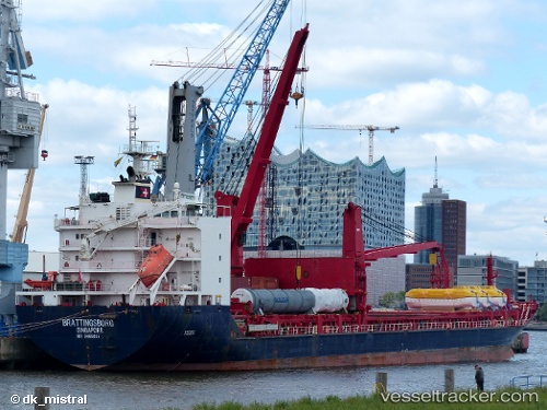
Vessel profile: STEVIE is a General Cargo with dimensions m x m.
This page combines live AIS, route history, probable destination signals, nearby traffic, and port activity for practical vessel monitoring.
The current position of vessel STEVIE is 54.58863 lat / -1.24207 lng. Updated: 2026-05-21 04:08:48 UTCNearest reference points:
- Near TYNE
- Near Blyth
- Near Hessle/Hull
Currently sailing under the flag of Antigua and Barbuda ![]()
Details:
Live Vessel STEVIE Analytics (details, animations, etc.)
Recent AIS points (UTC):
2026-05-21 01:09:35 UTC · 54.58865, -1.24212 · SOG 0 kn · COG 132°2026-05-21 01:56:51 UTC · 54.58863, -1.24210 · SOG 0 kn · COG 132°
2026-05-21 03:21:36 UTC · 54.58867, -1.24210 · SOG 0 kn · COG 132°
2026-05-21 04:08:48 UTC · 54.58863, -1.24207 · SOG 0 kn · COG 132°