 DEBBIE
Current Status
Where is the vessel?
DEBBIE is currently in 206 nm SW of Luderitz Bay, based on AIS data received about 14h ago.
Latest AIS update:
Current position: 28.86513° S, 12.20364° E (206 nm SW of Luderitz Bay)
Average speed (last 7 days): Loading…
Average speed (last 30 days): Loading…
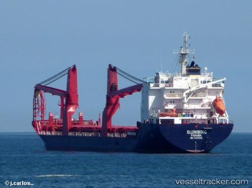
Vessel profile: DEBBIE is a General Cargo with dimensions m x m.
This page combines live AIS, route history, probable destination signals, nearby traffic, and port activity for practical vessel monitoring.
The current position of vessel DEBBIE is -28.86513 lat / 12.20364 lng. Updated: 2026-05-21 01:24:29 UTCNearest reference points:
- 312 nm SW of Luderitz Bay
- 161 nm W of Koiingnaas
- 154 nm W of Koiingnaas
Currently sailing under the flag of Liberia ![]()
Details:
Live Vessel DEBBIE Analytics (details, animations, etc.)
Recent AIS points (UTC):
2026-05-20 22:03:10 UTC · -29.41025, 12.76489 · SOG 13 kn · COG 320°2026-05-20 23:03:29 UTC · -29.24333, 12.59333 · SOG 13 kn · COG -1°
2026-05-20 23:24:31 UTC · -29.18667, 12.53333 · SOG 13 kn · COG -1°
2026-05-21 01:24:29 UTC · -28.86513, 12.20364 · SOG 12.6 kn · COG 319°