 AE URANUS
Current Status
Where is the vessel?
AE URANUS is currently in Near Manicani, based on AIS data received about 14h ago.
Latest AIS update:
Current position: 10.87283° N, 125.69867° E (Near Manicani)
Average speed (last 7 days): Loading…
Average speed (last 30 days): Loading…
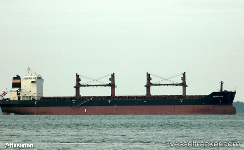
Vessel profile: AE URANUS is a Bulk Carrier with dimensions m x m.
This page combines live AIS, route history, probable destination signals, nearby traffic, and port activity for practical vessel monitoring.
The current position of vessel AE URANUS is 10.87283 lat / 125.69867 lng. Updated: 2026-05-20 22:18:41 UTCNearest reference points:
- Near Tacloban
- Near Hilongos
- Near Taganito
Currently sailing under the flag of Liberia ![]()
Details:
Live Vessel AE URANUS Analytics (details, animations, etc.)
Recent AIS points (UTC):
2026-05-20 18:27:07 UTC · 11.47967, 125.82862 · SOG 11.7 kn · COG 170°2026-05-20 20:11:24 UTC · 11.13965, 125.87835 · SOG 12 kn · COG 172°
2026-05-20 22:18:41 UTC · 10.87283, 125.69867 · SOG 13.4 kn · COG 267°
2026-05-20 22:18:41 UTC · 10.87283, 125.69867 · SOG 13.4 kn · COG 267°