 ANGLO MARIE LOUISE
Current Status
Where is the vessel?
ANGLO MARIE LOUISE is currently in 250 nm E of Diego Garcia, based on AIS data received about 14h ago.
Latest AIS update:
Current position: 6.10834° S, 76.47928° E (250 nm E of Diego Garcia)
Average speed (last 7 days): Loading…
Average speed (last 30 days): Loading…
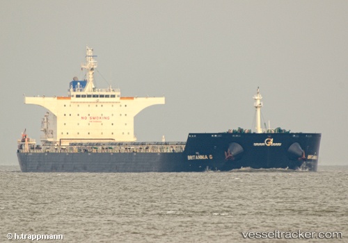
Vessel profile: ANGLO MARIE LOUISE is a Bulk Carrier with dimensions 255m x 43m.
This page combines live AIS, route history, probable destination signals, nearby traffic, and port activity for practical vessel monitoring.
The current position of vessel ANGLO MARIE LOUISE is -6.10834 lat / 76.47928 lng. Updated: 2026-07-31 13:21:41 UTCNearest reference points:
- 208 nm E of Diego Garcia
- 284 nm E of Diego Garcia
- Open sea, approx. 400 nm off the nearest listed port
Currently sailing under the flag of United Kingdom ![]()
ANGLO MARIE LOUISE built in 2011 year
Deadweight:
114674 tDetails:
Live Vessel ANGLO MARIE LOUISE Analytics (details, animations, etc.)
Recent AIS points (UTC):
2026-07-31 10:03:50 UTC · -6.39667, 76.04333 · SOG 9 kn · COG -1°2026-07-31 10:18:52 UTC · -6.37500, 76.07500 · SOG 9 kn · COG -1°
2026-07-31 11:54:47 UTC · -6.23167, 76.28500 · SOG 9 kn · COG -1°
2026-07-31 13:21:41 UTC · -6.10834, 76.47928 · SOG 9.4 kn · COG 57°