 Sm Newcastle
Current Status
Where is the vessel?
Sm Newcastle is currently in 364 nm SW of Tsiombe, based on AIS data received about 16h ago.
Latest AIS update:
Current position: 29.02640° S, 40.11398° E (364 nm SW of Tsiombe)
Average speed (last 7 days): Loading…
Average speed (last 30 days): Loading…
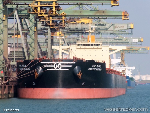
Vessel profile: Sm Newcastle is a Bulk Carrier with dimensions 292m x 45m.
This page combines live AIS, route history, probable destination signals, nearby traffic, and port activity for practical vessel monitoring.
The current position of vessel Sm Newcastle is -29.02640 lat / 40.11398 lng. Updated: 2026-06-14 23:41:13 UTCNearest reference points:
- Open sea, approx. 400 nm off the nearest listed port
- Open sea, approx. 401 nm off the nearest listed port
- Open sea, approx. 403 nm off the nearest listed port
Currently sailing under the flag of Marshall Is ![]()
Sm Newcastle built in 2010 year
Deadweight:
179194 tDetails:
Live Vessel Sm Newcastle Analytics (details, animations, etc.)
Recent AIS points (UTC):
2026-06-14 19:26:23 UTC · -28.62118, 40.95038 · SOG 12 kn · COG 232°2026-06-14 22:08:53 UTC · -28.88657, 40.41590 · SOG 12.3 kn · COG 246°
2026-06-14 23:12:05 UTC · -28.98393, 40.21080 · SOG 11.6 kn · COG 249°
2026-06-14 23:41:13 UTC · -29.02640, 40.11398 · SOG 11.4 kn · COG 250°