 vesseltracker.com
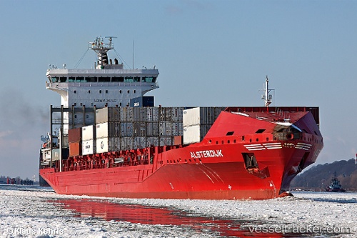
 ESPERANCE
Current Status
Where is the vessel?
ESPERANCE is currently in 12 nm NW of WLADYSLAWOWO, based on AIS data received less than 1h ago.
Latest AIS update:
Current position: 54.97669° N, 18.27253° E (12 nm NW of WLADYSLAWOWO)
Average speed (last 7 days): Loading…
Average speed (last 30 days): Loading…
Vessel profile: ESPERANCE is a Container Ship with dimensions m x m.
This page combines live AIS, route history, probable destination signals, nearby traffic, and port activity for practical vessel monitoring.
The current position of vessel ESPERANCE is 54.97669 lat / 18.27253 lng. Updated: 2026-05-14 03:43:06 UTCNearest reference points:
- Near WLADYSLAWOWO
- Near Gdynia
- Near Sopot
Currently sailing under the flag of Portugal ![]()
Details:
Live Vessel ESPERANCE Analytics (details, animations, etc.)
Recent AIS points (UTC):
2026-05-13 23:52:52 UTC · 54.53556, 18.54487 · SOG 7.6 kn · COG 90°2026-05-14 01:23:58 UTC · 54.68786, 18.96790 · SOG 14.6 kn · COG 5°
2026-05-14 01:31:45 UTC · 54.71973, 18.97346 · SOG 14.8 kn · COG 7°
2026-05-14 03:43:06 UTC · 54.97669, 18.27253 · SOG 13.9 kn · COG 265°