 ELENI K
Current Status
Where is the vessel?
ELENI K is currently in 12 nm SW of Forte da Casa, based on AIS data received about 14h ago.
Latest AIS update:
Current position: 38.77713° N, 8.81437° E (12 nm SW of Forte da Casa)
Average speed (last 7 days): Loading…
Average speed (last 30 days): Loading…
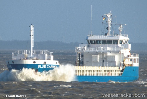
Vessel profile: ELENI K is a General Cargo with dimensions m x m.
This page combines live AIS, route history, probable destination signals, nearby traffic, and port activity for practical vessel monitoring.
The current position of vessel ELENI K is 38.77713 lat / 8.81437 lng. Updated: 2026-05-19 22:47:08 UTCNearest reference points:
- Near SARROCH
- Near Cagliari
- Near CARLOFORTE
Currently sailing under the flag of Marshall Islands ![]()
Details:
Live Vessel ELENI K Analytics (details, animations, etc.)
Recent AIS points (UTC):
2026-05-19 19:31:20 UTC · 39.05436, 9.12401 · SOG 7.8 kn · COG 159°2026-05-19 19:31:59 UTC · 39.05302, 9.12457 · SOG 7.8 kn · COG 159°
2026-05-19 21:39:00 UTC · 38.82304, 8.99857 · SOG 8.1 kn · COG 220°
2026-05-19 22:47:08 UTC · 38.77713, 8.81437 · SOG 8.1 kn · COG 254°