 ALMERA
Current Status
Where is the vessel?
ALMERA is currently in Near Alton, based on AIS data received about 14h ago.
Latest AIS update:
Current position: 28.79207° S, 32.04299° E (Near Alton)
Average speed (last 7 days): Loading…
Average speed (last 30 days): Loading…
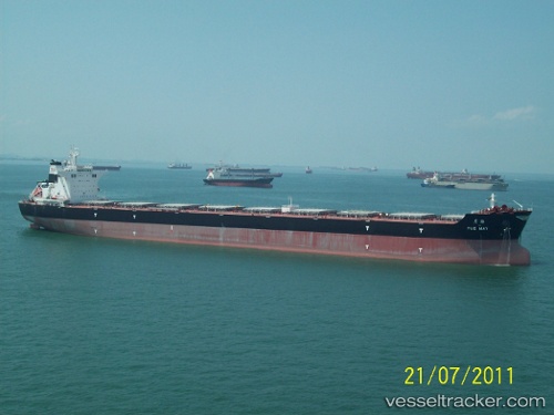
Vessel profile: ALMERA is a Cargo with dimensions m x m.
This page combines live AIS, route history, probable destination signals, nearby traffic, and port activity for practical vessel monitoring.
The current position of vessel ALMERA is -28.79207 lat / 32.04299 lng. Updated: 2026-05-21 05:23:43 UTCNearest reference points:
- 42 nm E of Richards Bay
- Near Umhlanga Rocks
- Near Durban
Currently sailing under the flag of Portugal ![]()
Details:
Live Vessel ALMERA Analytics (details, animations, etc.)
Recent AIS points (UTC):
2026-05-21 02:11:54 UTC · -28.79167, 32.04167 · SOG 0 kn · COG -1°2026-05-21 03:51:00 UTC · -28.79167, 32.04167 · SOG 0 kn · COG -1°
2026-05-21 04:32:56 UTC · -28.79167, 32.04167 · SOG 0 kn · COG -1°
2026-05-21 05:23:43 UTC · -28.79207, 32.04299 · SOG 0 kn · COG 91°