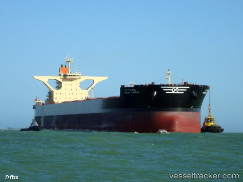
 HL TUBARAO
Current Status
Where is the vessel?
HL TUBARAO is currently in 207 nm S of Tsiombe, based on AIS data received about 14h ago.
Latest AIS update:
Current position: 28.66159° S, 44.59955° E (207 nm S of Tsiombe)
Average speed (last 7 days): Loading…
Average speed (last 30 days): Loading…
Vessel profile: HL TUBARAO is a Ore Carrier with dimensions m x m.
This page combines live AIS, route history, probable destination signals, nearby traffic, and port activity for practical vessel monitoring.
The current position of vessel HL TUBARAO is -28.66159 lat / 44.59955 lng. Updated: 2026-05-20 12:01:42 UTCNearest reference points:
- 148 nm SW of Tsiombe
- 106 nm S of Tsiombe
- 174 nm S of Ambovombe
Currently sailing under the flag of Liberia ![]()
Details:
Live Vessel HL TUBARAO Analytics (details, animations, etc.)
Recent AIS points (UTC):
2026-05-20 08:00:35 UTC · -28.32858, 45.48918 · SOG 12.6 kn · COG 249°2026-05-20 09:22:43 UTC · -28.44410, 45.19080 · SOG 12.5 kn · COG 249°
2026-05-20 10:22:06 UTC · -28.53002, 44.96876 · SOG 12.9 kn · COG 249°
2026-05-20 12:01:42 UTC · -28.66159, 44.59955 · SOG 12.9 kn · COG 247°