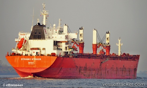
 CARRIE
Current Status
Where is the vessel?
CARRIE is currently in 72 nm S of Keti Bandar, based on AIS data received about 15h ago.
Latest AIS update:
Current position: 22.99738° N, 67.82459° E (72 nm S of Keti Bandar)
Average speed (last 7 days): Loading…
Average speed (last 30 days): Loading…
Vessel profile: CARRIE is a Bulk Carrier with dimensions m x m.
This page combines live AIS, route history, probable destination signals, nearby traffic, and port activity for practical vessel monitoring.
The current position of vessel CARRIE is 22.99738 lat / 67.82459 lng. Updated: 2026-05-20 23:24:53 UTCNearest reference points:
- 13 nm W of Måndvi
- 84 nm SW of Keti Bandar
- 16 nm S of Kiamari
Currently sailing under the flag of Panama ![]()
Details:
Live Vessel CARRIE Analytics (details, animations, etc.)
Recent AIS points (UTC):
2026-05-20 17:58:03 UTC · 23.66839, 67.00842 · SOG 11.9 kn · COG 157°2026-05-20 21:39:24 UTC · 23.06948, 67.43965 · SOG 12.3 kn · COG 100°
2026-05-20 22:10:44 UTC · 23.04755, 67.55455 · SOG 12.4 kn · COG 109°
2026-05-20 23:24:53 UTC · 22.99738, 67.82459 · SOG 12.5 kn · COG 95°