 DE QIANG
Current Status
Where is the vessel?
DE QIANG is currently in 37 nm NE of Xijiang, based on AIS data received about 16h ago.
Latest AIS update:
Current position: 21.69968° N, 115.35896° E (37 nm NE of Xijiang)
Average speed (last 7 days): Loading…
Average speed (last 30 days): Loading…
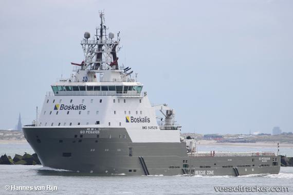
Vessel profile: DE QIANG is a Offshore Tug/Supply Ship with dimensions 91m x 22m.
This page combines live AIS, route history, probable destination signals, nearby traffic, and port activity for practical vessel monitoring.
The current position of vessel DE QIANG is 21.69968 lat / 115.35896 lng. Updated: 2026-05-21 05:38:52 UTCNearest reference points:
- 49 nm S of SHANWEI
- 25 nm SE of Wan Tsai
- 14 nm S of Pinghai
Currently sailing under the flag of China Peopless Republic ![]()
DE QIANG built in 2015 year
Deadweight:
4500 tDetails:
Live Vessel DE QIANG Analytics (details, animations, etc.)
Recent AIS points (UTC):
2026-05-21 02:36:32 UTC · 21.69666, 115.50871 · SOG 2.7 kn · COG 280°2026-05-21 03:57:23 UTC · 21.69957, 115.43897 · SOG 3.1 kn · COG 264°
2026-05-21 04:16:23 UTC · 21.69826, 115.42015 · SOG 4.1 kn · COG 271°
2026-05-21 05:38:52 UTC · 21.69968, 115.35896 · SOG 3 kn · COG 258°