 HASOONLIT
Current Status
Where is the vessel?
HASOONLIT is currently in 36 nm W of Kuala Selangor, based on AIS data received about 14h ago.
Latest AIS update:
Current position: 3.15172° N, 100.48054° E (36 nm W of Kuala Selangor)
Average speed (last 7 days): Loading…
Average speed (last 30 days): Loading…
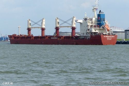
Vessel profile: HASOONLIT is a Bulk Carrier with dimensions m x m.
This page combines live AIS, route history, probable destination signals, nearby traffic, and port activity for practical vessel monitoring.
The current position of vessel HASOONLIT is 3.15172 lat / 100.48054 lng. Updated: 2026-05-19 04:03:39 UTCNearest reference points:
- 21 nm SW of Pulau Indah
- Near Westport/Port Klang
- Near Kapar
Currently sailing under the flag of Barbados ![]()
Details:
Live Vessel HASOONLIT Analytics (details, animations, etc.)
Recent AIS points (UTC):
2026-05-19 02:02:49 UTC · 3.38409, 100.21343 · SOG 10.1 kn · COG 131°2026-05-19 02:12:49 UTC · 3.36487, 100.23450 · SOG 10.2 kn · COG 131°
2026-05-19 03:35:39 UTC · 3.20748, 100.41878 · SOG 10.5 kn · COG 132°
2026-05-19 04:03:39 UTC · 3.15172, 100.48054 · SOG 10.7 kn · COG 128°