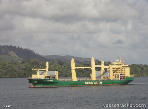
 Aal Kembla
Current Status
Where is the vessel?
Aal Kembla is currently in 328 nm SW of St. Helena Island, based on AIS data received about 15h ago.
Latest AIS update:
Current position: 19.93500° S, 9.61500° W (328 nm SW of St. Helena Island)
Average speed (last 7 days): Loading…
Average speed (last 30 days): Loading…
Vessel profile: Aal Kembla is a Multi Purpose Carrier with dimensions 194m x 29m.
This page combines live AIS, route history, probable destination signals, nearby traffic, and port activity for practical vessel monitoring.
The current position of vessel Aal Kembla is -19.93500 lat / -9.61500 lng. Updated: 2026-05-20 22:07:48 UTCNearest reference points:
- Open sea, approx. 402 nm off the nearest listed port
- Open sea, approx. 400 nm off the nearest listed port
- Open sea, approx. 401 nm off the nearest listed port
Currently sailing under the flag of Liberia ![]()
Aal Kembla built in 2011 year
Deadweight:
31000 tDetails:
Live Vessel Aal Kembla Analytics (details, animations, etc.)
Recent AIS points (UTC):
2026-05-20 16:55:06 UTC · -19.38546, -10.58538 · SOG 12.1 kn · COG 118°2026-05-20 17:30:12 UTC · -19.44500, -10.47500 · SOG 12 kn · COG -1°
2026-05-20 22:01:46 UTC · -19.92333, -9.63500 · SOG 12 kn · COG -1°
2026-05-20 22:07:48 UTC · -19.93500, -9.61500 · SOG 12 kn · COG -1°