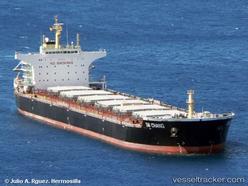
 Tai Chang
Current Status
Where is the vessel?
Tai Chang is currently in 39 nm NW of Sangwangdeungdo, based on AIS data received about 14h ago.
Latest AIS update:
Current position: 36.14667° N, 125.60167° E (39 nm NW of Sangwangdeungdo)
Average speed (last 7 days): Loading…
Average speed (last 30 days): Loading…
Vessel profile: Tai Chang is a Bulk Carrier with dimensions 230m x 38m.
This page combines live AIS, route history, probable destination signals, nearby traffic, and port activity for practical vessel monitoring.
The current position of vessel Tai Chang is 36.14667 lat / 125.60167 lng. Updated: 2026-05-21 07:25:38 UTCNearest reference points:
- 19 nm NW of Sangwangdeungdo
- 22 nm W of Biin
- 54 nm W of Taean-gun
Currently sailing under the flag of Hong Kong ![]()
Tai Chang built in 2010 year
Deadweight:
92500 tDetails:
Live Vessel Tai Chang Analytics (details, animations, etc.)
Recent AIS points (UTC):
2026-05-21 04:28:35 UTC · 36.14167, 125.59833 · SOG 0 kn · COG -1°2026-05-21 06:52:42 UTC · 36.14500, 125.60167 · SOG 0 kn · COG -1°
2026-05-21 07:25:38 UTC · 36.14667, 125.60167 · SOG 0 kn · COG -1°
2026-05-21 07:25:38 UTC · 36.14667, 125.60167 · SOG 0 kn · COG -1°